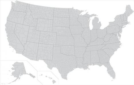
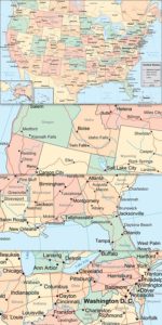
USA states and counties vector map
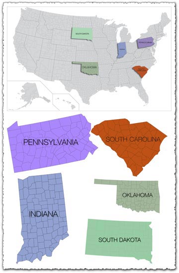
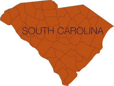
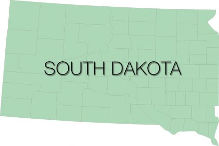
Description: This resource includes a single EPS vector map of the United States with delineated states and counties, offering a detailed and comprehensive representation of geographical regions.
Usage: Utilize this vector map in various applications such as geographic analysis, data visualization, educational materials, and interactive web projects. It provides a versatile framework for showcasing regional data and information.
Download: Access the EPS file along with the JPG preview to integrate this USA states and counties vector map into your projects. Whether you’re creating infographics, presentations, or custom maps, this resource offers flexibility and accuracy for your design needs.
HELLO, PLEASE TURN YOUR ADBLOCK OFF IN ORDER TO DOWNLOAD THE FILE!
It looks like you're using an ad blocker. That's okay—who doesn't? But without advertising income, we can't keep making this site awesome.



Leave a Reply