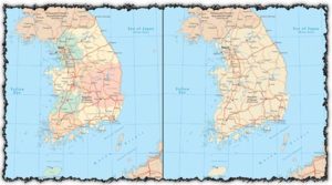
South Korea map vector
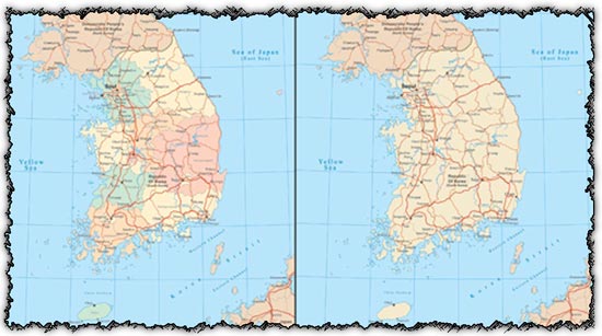
Description: These vector maps depict South Korea, providing detailed representations of the country’s administrative divisions and geographic features. With clearly defined borders and labeled regions, these maps offer comprehensive visualizations of South Korea’s territory.
Usage: Utilize these maps for a wide range of purposes, including educational materials, presentations, infographics, and digital or print publications. They can be incorporated into reports, articles, websites, or any other project requiring accurate and visually appealing representations of South Korea.
Download: Obtain the AI files containing the South Korea vector maps along with JPG previews for quick reference. Whether you’re studying South Korea’s geography, creating marketing materials, or designing informational graphics, these maps offer versatile assets for your projects.
HELLO, PLEASE TURN YOUR ADBLOCK OFF IN ORDER TO DOWNLOAD THE FILE!
It looks like you're using an ad blocker. That's okay—who doesn't? But without advertising income, we can't keep making this site awesome.



Leave a Reply