Pakistan vector maps
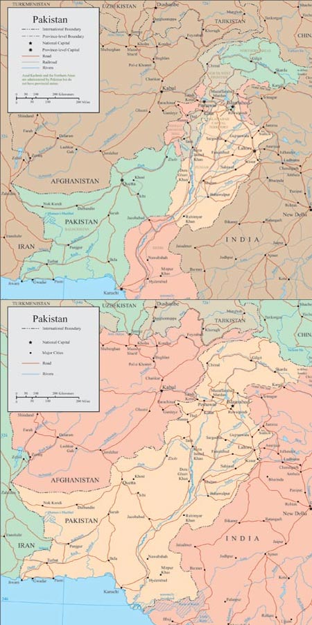
Description: Explore detailed vector maps of Pakistan featuring country borders, major rivers, lakes, roads, and cities. These maps are essential tools for geographic analysis, urban planning, education, and more.
Usage: Utilize these maps for geographic studies, educational materials, urban planning assessments, cultural exploration, and research projects across various disciplines.
Download: Access vector maps from sources like OpenStreetMap, Natural Earth, Wikimedia Commons, and government agencies. Download in formats like SVG, GeoJSON, and more.
HELLO, PLEASE TURN YOUR ADBLOCK OFF IN ORDER TO DOWNLOAD THE FILE!
It looks like you're using an ad blocker. That's okay—who doesn't? But without advertising income, we can't keep making this site awesome.



invalid download link
The download link is working