Norway map vector
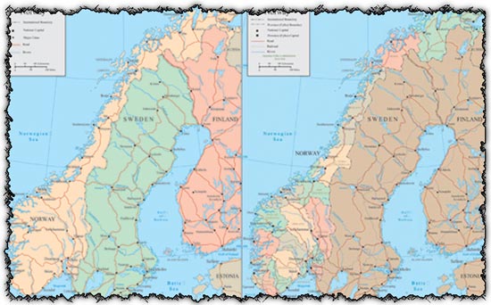
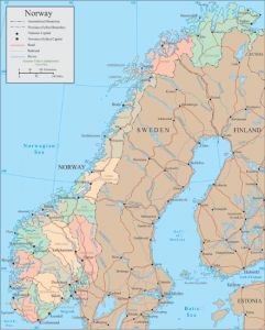
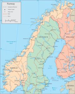
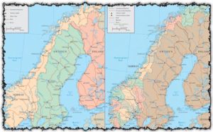
Description: Explore the beauty of Norway with the Norway map vector set, featuring 2 AI vectors accompanied by JPG previews. These detailed maps depict the geographical features of Norway, including borders, country names, and major rivers. Perfect for educational materials, travel guides, or infographics, these vectors provide valuable insights into the geography of Norway in a clear and visually appealing format.
Usage: Incorporate these Norway map vectors into your designs for various purposes, including presentations, reports, websites, or printed materials. Use them to illustrate articles about Norwegian geography, create customized maps for travel itineraries, or design infographics about Norway’s natural landmarks. These vectors are also useful for educational projects or business presentations that require accurate geographical information.
Download: Access the set of 2 AI Norway map vectors with JPG previews directly from this source. Click on the download links provided to obtain these informative design elements, ready to enhance your projects with detailed maps of Norway showcasing its borders, country names, and major rivers.
HELLO, PLEASE TURN YOUR ADBLOCK OFF IN ORDER TO DOWNLOAD THE FILE!
It looks like you're using an ad blocker. That's okay—who doesn't? But without advertising income, we can't keep making this site awesome.


vector noway
I need Norway vector maps