Netherlands vector maps
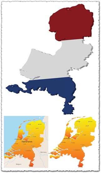
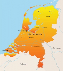
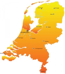
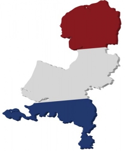
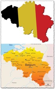
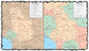
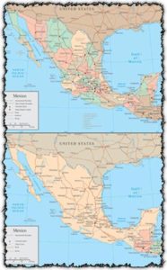
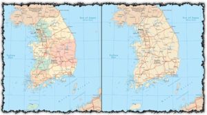
Description: Explore the Netherlands with precision and clarity through these vector maps. Whether you need an overview of administrative divisions or a detailed 3D representation, these maps provide accurate depictions of the Dutch landscape. From major cities to rural areas, all aspects of the Netherlands are meticulously outlined to support various mapping needs.
Usage: Utilize these vector maps for a wide range of applications, including urban planning, geographic analysis, tourism guides, educational materials, and more. Embed them in presentations, websites, or publications to enhance visual representations of Dutch geography. With their scalable vector format, these maps ensure high-quality rendering at any size without loss of detail.
Download: Access vector maps of the Netherlands, including administrative divisions and 3D representations, to incorporate accurate geographic data into your projects. Enhance your visualizations and communicate information effectively with these versatile mapping resources.
HELLO, PLEASE TURN YOUR ADBLOCK OFF IN ORDER TO DOWNLOAD THE FILE!
It looks like you're using an ad blocker. That's okay—who doesn't? But without advertising income, we can't keep making this site awesome.


Leave a Reply