France vector map
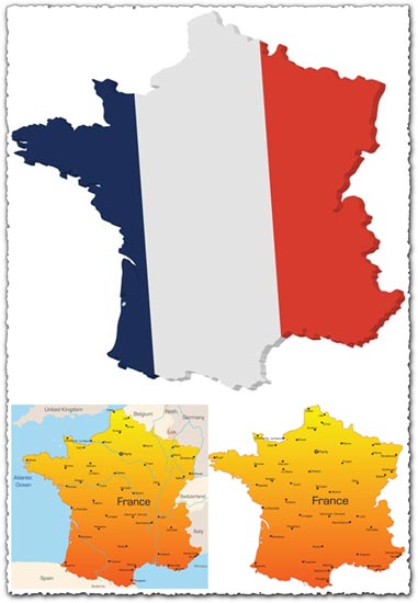
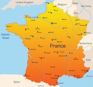
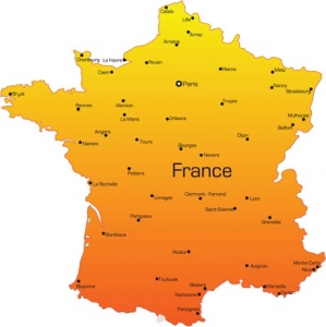
Description: Explore detailed vector maps of France, encompassing country borders, cities, roads, and more, provided in AI format. Each vector map is accompanied by a JPG preview for convenient visualization.
Usage: Leverage these vector maps for graphic design projects, cartography, educational materials, presentations, and other applications requiring precise geographic depictions of France.
Download: Access the AI sources directly from this article. Simply navigate to the provided download links to obtain the France vector maps along with their JPG previews, facilitating immediate integration into your projects.
HELLO, PLEASE TURN YOUR ADBLOCK OFF IN ORDER TO DOWNLOAD THE FILE!
It looks like you're using an ad blocker. That's okay—who doesn't? But without advertising income, we can't keep making this site awesome.



Leave a Reply