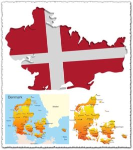
Denmark map vector
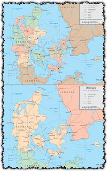
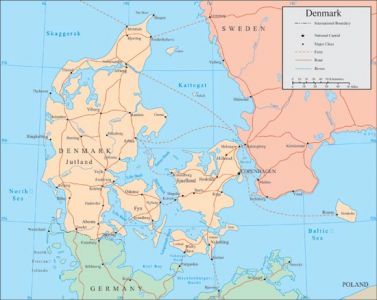
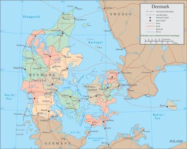
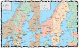
Description: Explore Denmark in detail with these two AI vector maps featuring comprehensive geographical information. From country borders to major rivers, these maps provide a clear overview of Denmark’s landscape.
Usage: Whether you’re creating educational materials, designing travel brochures, or planning geographic analyses, these vector maps of Denmark offer versatile utility. Use them in presentations, websites, publications, or any project where accurate geographic representation is essential.
Download: Access these Denmark vector maps today to enhance your projects with precise and visually appealing cartographic data. With both AI and JPG formats available, you have the flexibility to integrate these maps seamlessly into your designs.
HELLO, PLEASE TURN YOUR ADBLOCK OFF IN ORDER TO DOWNLOAD THE FILE!
It looks like you're using an ad blocker. That's okay—who doesn't? But without advertising income, we can't keep making this site awesome.


Leave a Reply