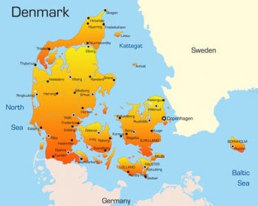
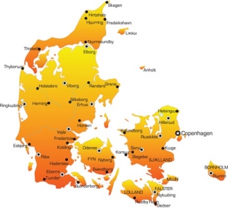
Denmark vector map
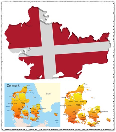
Description: Discover Denmark vector maps featuring comprehensive geographic details, including country borders, cities, roads, and more, in AI format. Each vector map comes with a preview in JPG format for easy visualization.
Usage: These vector maps are ideal for graphic design projects, cartography, educational materials, presentations, and any other application requiring detailed geographic representations of Denmark.
Download: Find and download Denmark vector maps with AI files and JPG previews from online marketplaces such as Adobe Stock, Shutterstock, and Creative Market. Browse through the available
HELLO, PLEASE TURN YOUR ADBLOCK OFF IN ORDER TO DOWNLOAD THE FILE!
It looks like you're using an ad blocker. That's okay—who doesn't? But without advertising income, we can't keep making this site awesome.






Leave a Reply