Canada vector maps
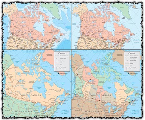
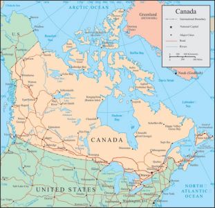
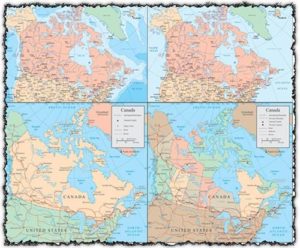
Description: Explore the beauty of Canada with a set of four AI Canada vector maps, each accompanied by a JPG preview. These maps offer detailed representations of Canada’s administrative divisions and geographical features, perfect for educational materials, travel guides, and geographic analysis. Whether you’re planning a trip, studying Canadian geography, or creating infographics, these vector maps provide accurate and customizable depictions of Canada’s territories and boundaries.
Usage: Incorporate these AI Canada vector maps into your designs for presentations, reports, websites, and more. Whether you’re illustrating demographic data, highlighting tourist destinations, or planning logistics, these maps offer versatile options to visualize information and engage your audience effectively.
Download: Access the set of four AI Canada vector maps with JPG previews directly from this source. Click on the download links provided to obtain these detailed and versatile maps, ready to enhance your projects with their accurate representations of Canada’s diverse geography.
HELLO, PLEASE TURN YOUR ADBLOCK OFF IN ORDER TO DOWNLOAD THE FILE!
It looks like you're using an ad blocker. That's okay—who doesn't? But without advertising income, we can't keep making this site awesome.



Leave a Reply