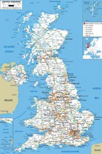
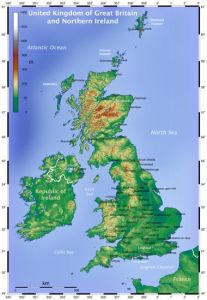
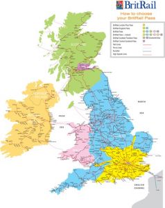
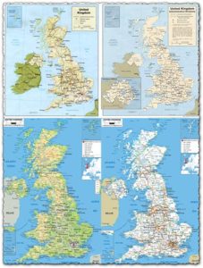
Administrative, physical and relief map of United Kingdom
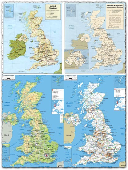
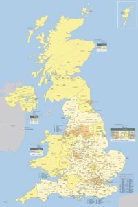
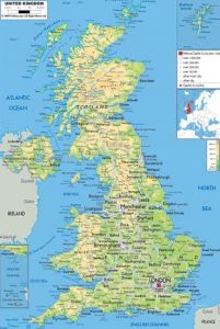
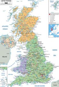
Description: Explore the diverse landscapes and regions of the United Kingdom with this comprehensive map collection. Featuring administrative, physical, and relief maps, this collection provides a detailed overview of the UK’s geography. From bustling cities to rugged coastlines and rolling countryside, these maps capture the essence of this historic and vibrant nation.
Usage: These maps are invaluable tools for a wide range of purposes. Use them for educational materials, geographic analysis, travel guides, and more. Whether you’re planning a trip, studying geography, or creating informative graphics, these maps offer valuable insights into the layout and topography of the United Kingdom.
Download: Access high-quality JPG versions of these United Kingdom maps today. With resolutions of up to 4000 pixels, these maps are suitable for both digital and print use. Whether you’re designing presentations, educational materials, or website content, these maps provide essential geographic information in a visually appealing format.
HELLO, PLEASE TURN YOUR ADBLOCK OFF IN ORDER TO DOWNLOAD THE FILE!
It looks like you're using an ad blocker. That's okay—who doesn't? But without advertising income, we can't keep making this site awesome.




Leave a Reply